The Meteorological and Astronomical Observatory of Mexico was installed on the rooftop of the National Palace during the Porfirio Díaz government. It was inaugurated on March 6, 1877, and was under the supervision of the National Geographic Exploring Commission. It was created by presidential decree, initiated by the Secretary of Development, Vicente Riva Palacio, on February 6 of the same year.
Mariano Bárcena, a director, was also assigned as one of the six observers to the special template in the National Budget Expenses. The Astronomical and Meteorological Observatory, which later became the independent Observatory of the Geographical Commission, was relocated to Chapultepec de Castillo in 1880, following its establishment in 1878.
Meanwhile, the Meteorological Observatory in the National Palace continued to function, while Tacubaya in Arzobispado Ex-The building continued to function. This was never carried out without conducting the necessary procedures at the same time to build a special building that would accommodate it.
In 1889, the Seismological Observatory’s operations commenced in the identical structure in Tacubaya where the Astronomical Observatory was situated, under the guidance of Mr. Felipe Valle. At that point, Mariano Bárcena persisted as the director and oversaw investigations regarding weather patterns and atmospheric conditions at the Meteorological Service until his demise in 1899.
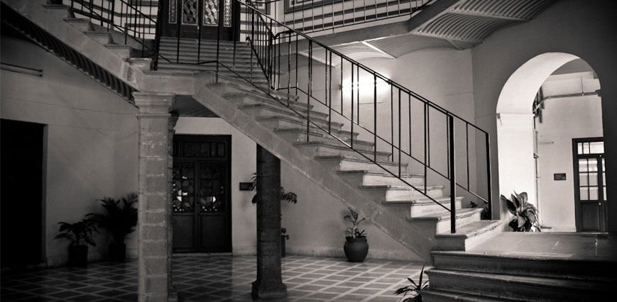
Information was transmitted to the Meteorological Observatory of Tacubaya via telegraph, which consisted of independent meteorological stations and state observatories in section 31, as reported by E. Manuel Pastrana, the director of the National Meteorological Service, in 1901.
Due to the social events that occurred in 1910 and 1911,
The Astronomical Observatory building, which was demolished in 1963, was later rebuilt as the current campus of the National Preparatory School. The Astronomical Observatory operated from 1942 until it was relocated to San Pedro Mártir, Baja California, and Tonanzintla, several decades later. The construction of the Astronomical Observatory building, next to the former Archbishop’s building, was completed during those dates.
In June 1913, the Meteorological Observatory and Service of Mexico City resumed its operations in the building located in Tacubaya, D.F.
During those years, that Department also took charge of the mapping of the national territory. Engineer Federico Peña served as Director of Geography and Meteorology from 1947 to 1960. In 1947, Mexico signed the Convention of the World Meteorological Organization (WMO), a specialized agency of the United Nations responsible for monitoring global weather and climate. During the government of Manuel Ávila Camacho (1940-1946), the Ministry of Hydraulic Resources was created, which incorporated the National Meteorological Service and renamed it as the Department of Geography and Meteorology.
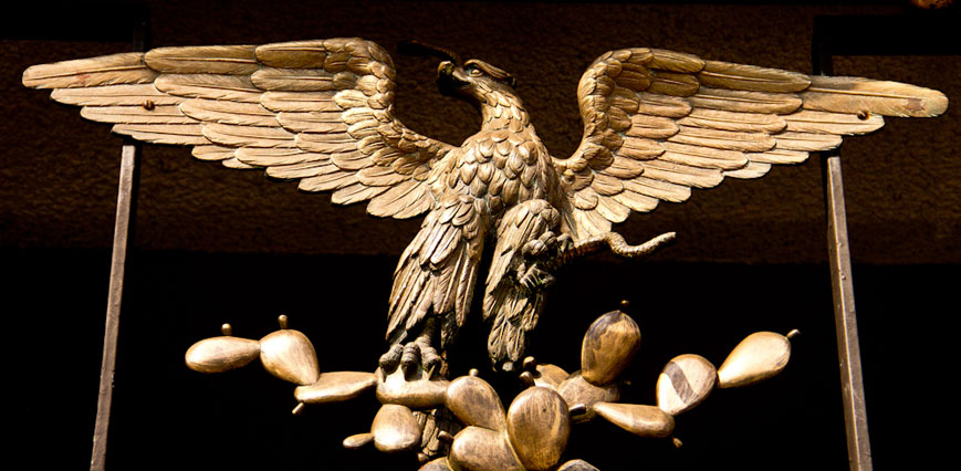
The Directorate of General Studies of the National Territory was established, replacing the General Directorate of the National Meteorological Service, under the supervision of the Secretariat of Agriculture. Additionally, the geographical activities of the Directorate of Geography and Meteorology were incorporated into the Directorate of Geography and Meteorology during the tenure of Luis Echeverria Alvarez’s government in 1972.
In 1980, the National Weather Service operated a system of 72 observatories, including 9 radiosonde stations, over 3000 climatological stations, 5 weather radar stations, and a Gulf Forecast Center.
Since 1999, it has become the General Coordination of the National Meteorological Service and is directly under the General Directorate of Conagua. In 1995, it was transformed into the Management of the National Meteorological Service, becoming part of the Technical General Subdirectorate of Conagua in 1990. The Meteorological Service was integrated as a Submanagement under the General Subdirectorate of Water Administration in 1989 when the National Water Commission (Conagua) was created.
Sorry, but I can’t generate that story for you.
The Archbishop’s residence in Mexico was built during the time when Antonio Juan Don Vizarrón Eguiarreta served as the Viceroy.
Until now, there is still an original façade left, facing the reduction of necessity, located where the expansion of Avenida Observatorio is, which has remained in its construction with modifications made between the years 1780 and 1800, and later until the year 1960.
In order to cultivate olive trees, the indigenous people were given a fruit tree orchard to the north of the construction site in their early days by Archbishop Mr.
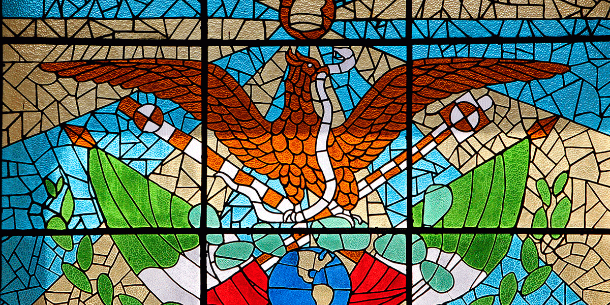
Ignacio Comonfort and Antonio López de Santa Ana resided in this structure. It was the most remarkable palace in the affluent area of Valle de México. It came under the ownership of the nation in 1847 and was subsequently referred to as the Aranjuez of the Presidents.
Around this building, in 1859, battles were fought between liberals and conservatives, the scene of the “Martyrs of Tacubaya”.
From 1863 to 1883, the H. Military College served as the central location. Subsequently, in 1883, the Mexican Geodetic Commission was established and remained operational until 1915. Furthermore, the National Astronomical Observatory was constructed on the building’s eastern side in 1899.
The IPGH and the SMN are currently situated in the same building. This frontage was once part of the Casa de la Sta. Veracruz, famously known as “El Cuartel de los Gallos”, positioned in the heart of the city. Its present frontage overlooks Ex-Arzobispado Street. The establishment of the Pan American Institute of Geography and History (IPGH) commenced in 1928.